The source of pollution for the environment exists everywhere. It is the result of industrial activities, transportation, waste disposal, and unsustainable energy consumption. Each location faces its own challenges, creating a diverse pollution scenario, from air to water and soil.
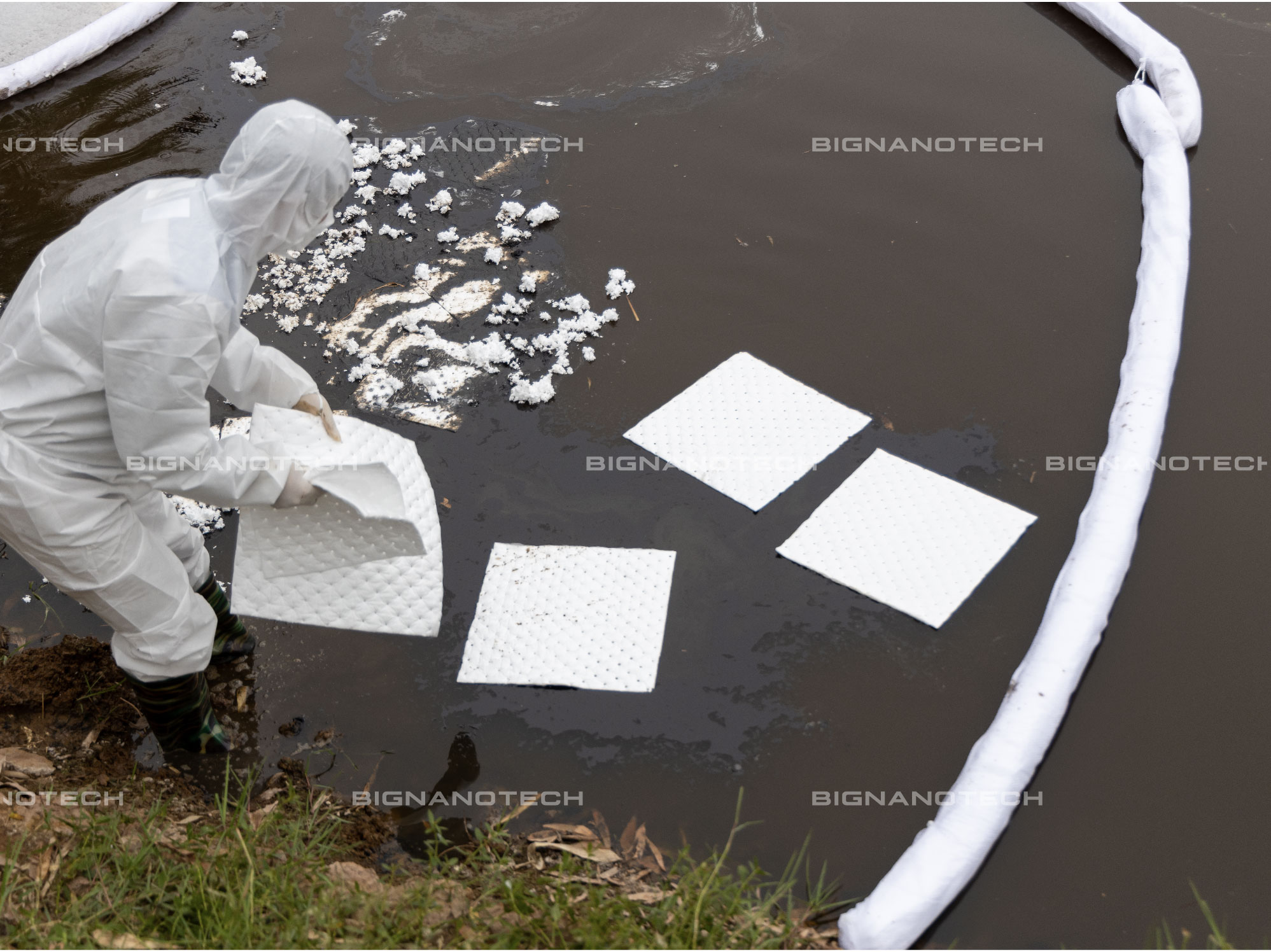
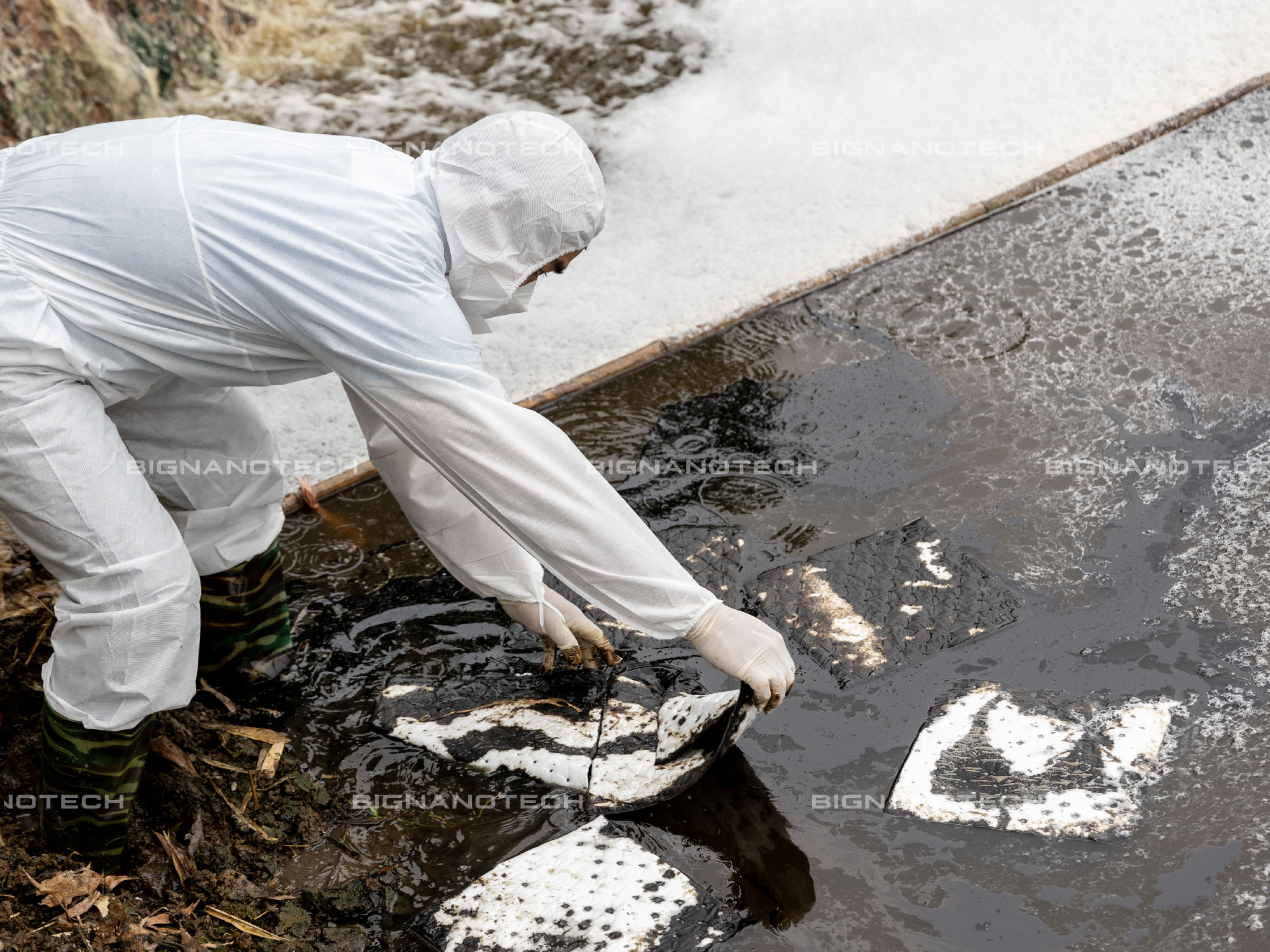
Oil spills and chemical incidents are among the leading causes of water and sea pollution, directly impacting water ecosystems, causing harm and death to river and marine animals, disrupting food chains, affecting freshwater sources, and devastating the economies of coastal communities.
Protecting the environment is not only the government’s responsibility but also everyone’s duty. Land, water, air, and food resources all depend on the stability of the environment. Taking small actions today ensures the stability and sustainable development of the environment in the future.
Restoring the consequences for the environment and ecosystems can be optimized through prompt and effective cleanup activities. Better control can be achieved with well-prepared precautionary response plans.

Shoreline Cleanup Assessment Technique (SCAT) is a systematic method for surveying coastlines affected by oil spills, gathering information on oil conditions and their distribution, utilizing standardized profile data and conducted by specialized personnel. SCAT is an indispensable component in oil spill response efforts.

Remote sensing is one of the technologies that can be employed to monitor oil spill incidents through sensors in the air and space via satellites.
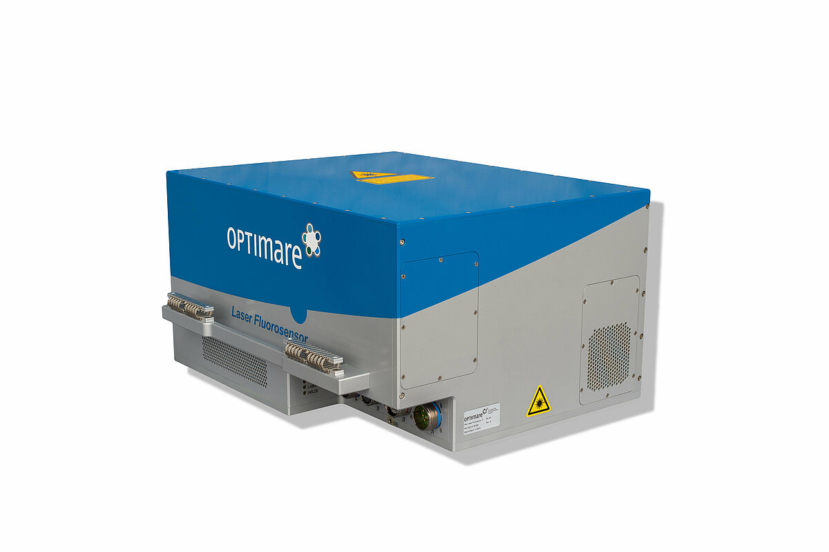
Laser Fluorosensor (LF) is the only sensor capable of detecting oil spills across various terrains, including water, coastlines, beaches, coastal areas, snow, and ice. LF can classify oil types based on fluoroscent decay time and is a functional sensor usable for both day and night operations.

Many scientists have endeavored to use satellite remote sensing data (e.g., Moderate Resolution Imaging Spectroradiometer (MODIS) and Near-Infrared Spectroradiometer (NIR)) instead of airborne remote sensing. However, clear weather and lengthy processing times are necessary for handling data, which may impact emergency response operations and spill prevention planning.
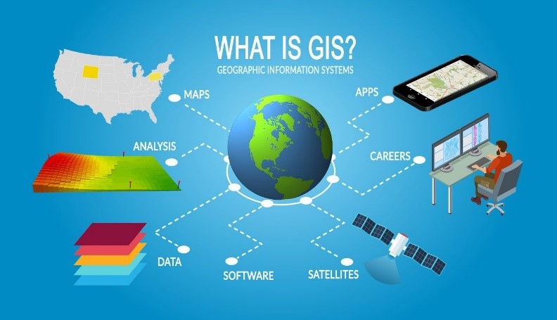
Advancements in Geographic Information System (GIS) can aid in developing decision support systems for actions during oil spill events, with remote sensing data serving as input for these systems. GIS can map oil spill sensitivity, reveal response and resource plans offshore/onshore, and allow for the creation of databases centralized around information from various sources.

Another widely used method for detecting thick oil slicks and emulsified oil is dual-polarization, as it requires less data and is less affected by device noise. Dual-polarization Synthetic Aperture Radar (SAR) primarily utilizes SAR images in HH and VV polarization channels to detect oil and differentiate between biological slicks and mineral oil slicks.

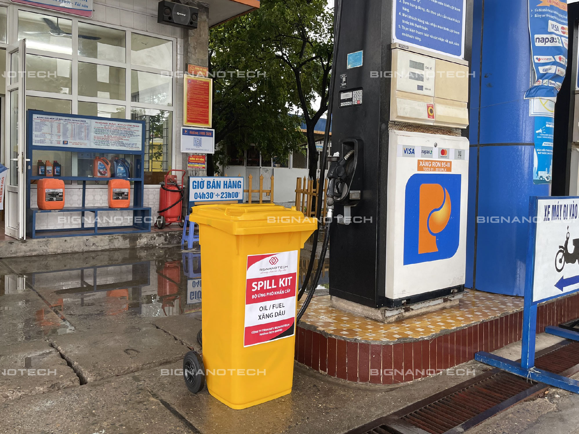
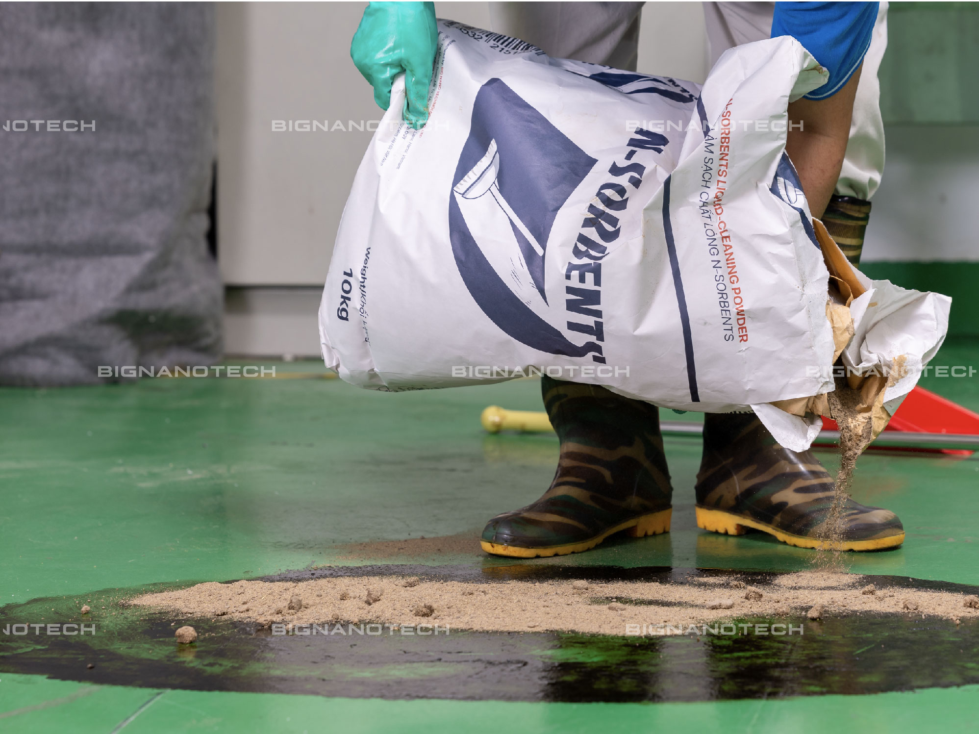
BIGNANOTECH provides optimal solutions for addressing environmental pollution resulting from incidents of oil and industrial chemical spills.
We conduct extensive research and manufacture large-scale products for cleaning up oil and industrial chemicals. Utilizing an advanced Nano technology production line from Japan, our products, designed to respond to and mitigate incidents, demonstrate superior absorption speed and optimal absorption capacity. BIGNANOTECH meets the stringent requirements of regulatory authorities and is the trusted choice of partners and customers both domestically and internationally.
We have received your request for sample.
Our research specialist will contact you soon.